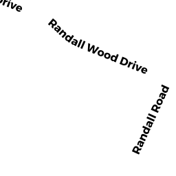
29 RANDALL WOOD DR
Owner Information
LEPLEY STEPHEN A
29 RANDALL WOOD DR
MONTAGUE, MA 1351


Property Details
29 RANDALL WOOD DR is classified as a Single Family Residential.
The primary structure on this property was built in 1992. There are 2,632ft2 of built area within this property. This property is listed as having 6 rooms.
29 RANDALL WOOD DR is valued at $197,000. The land is valued at $47,800 and the structures are valued at $148,000. There is an additional valuation of $1,200 on this property.
29 RANDALL WOOD DR was last sold on Wednesday, February 11, 1998 for $0.
Assessment data from fiscal year 2020.
Flood Data
According to the FEMA National Flood Hazard Layer, this property does not appear to be in a flood zone. It may also be in an area not yet reviewed. Nonetheless, confirm this information prior to taking any action.
To view the flood hazards around this property, create a FEMA "Firmette" Map of the area around 29 RANDALL WOOD DR.
Broadband Internet Providers
| Provider | Type | Bandwidth (mbps) | |
|---|---|---|---|
| Comcast | Cable | 1000 | 35 |
| GCI Communication Corp. | Satellite | 0 | 0 |
| Verizon New England Inc. | DSL | 1 | 0 |
| Viasat Inc | Satellite | 100 | 3 |
| HughesNet | Satellite | 25 | 3 |
| VSAT Systems, LLC. | Satellite | 2 | 1 |
Broadband service provider data from December 2020.
Adjacent Properties
- 39 RANDALL WOOD DR
Single Family Residential owned by SAVINSKI ALAN M - 43 RANDALL WOOD DR
Single Family Residential owned by SIDEL BETH - 45 RANDALL WOOD DR
Single Family Residential owned by DAVIS DEBORAH A - 27 RANDALL WOOD DR
Single Family Residential owned by GARRISON GREGORY O - 33 RANDALL WOOD DR
Single Family Residential owned by LANE MONICA M